PROCESS
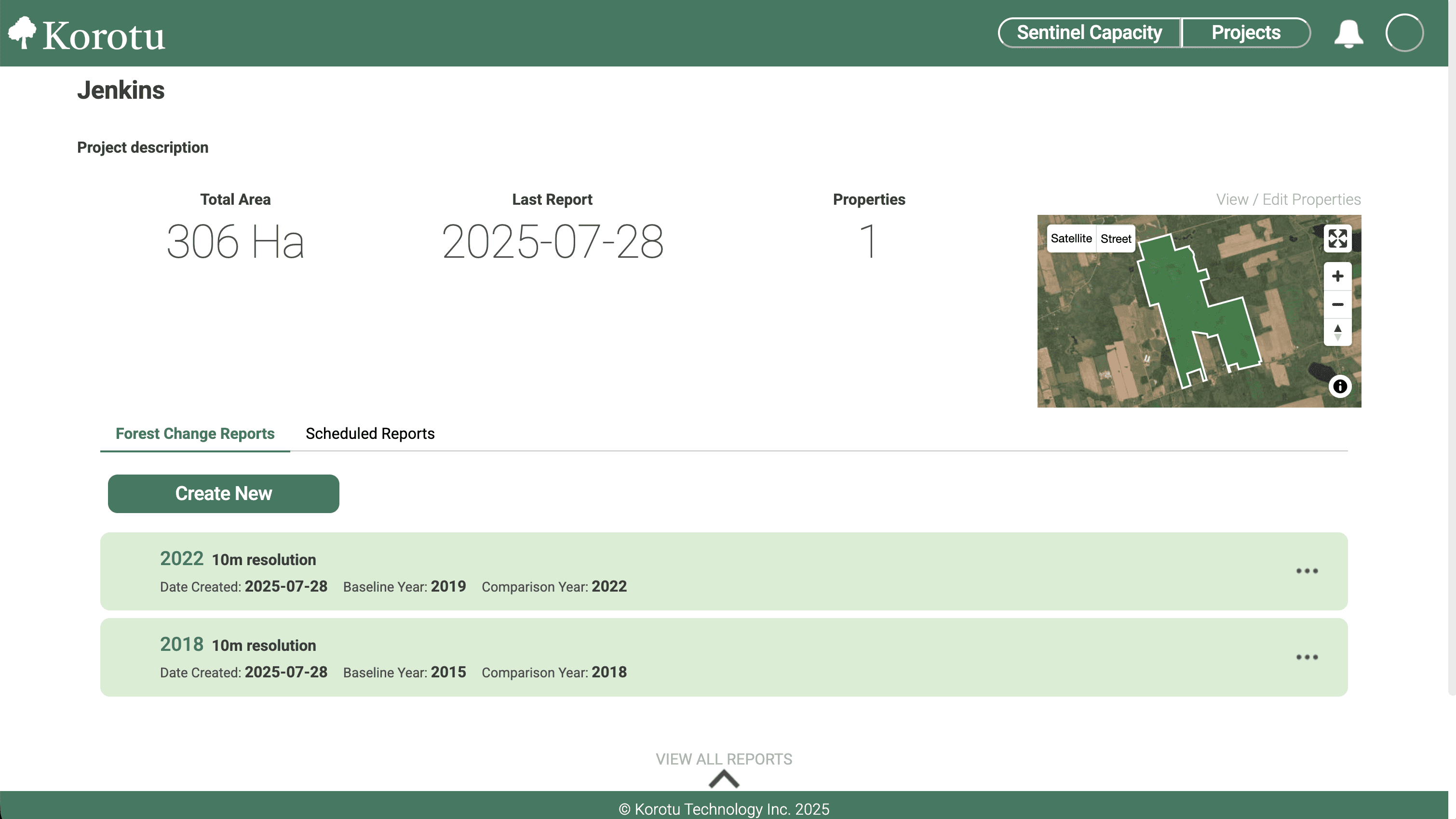
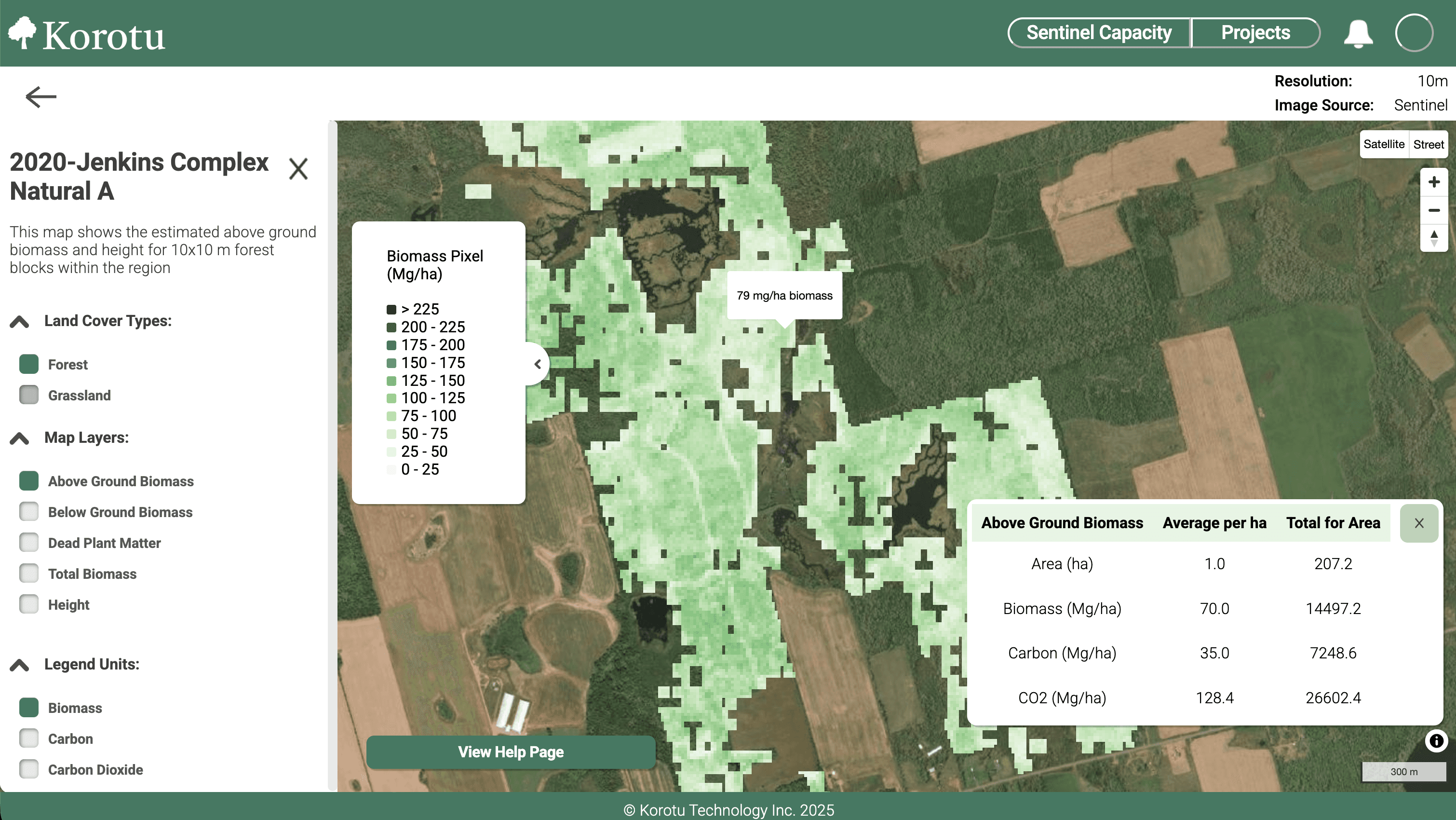
How it Works




BENEFITS
Resoure efficient remote monitoring
Reduce costly, time-consuming fieldwork with remote monitoring.
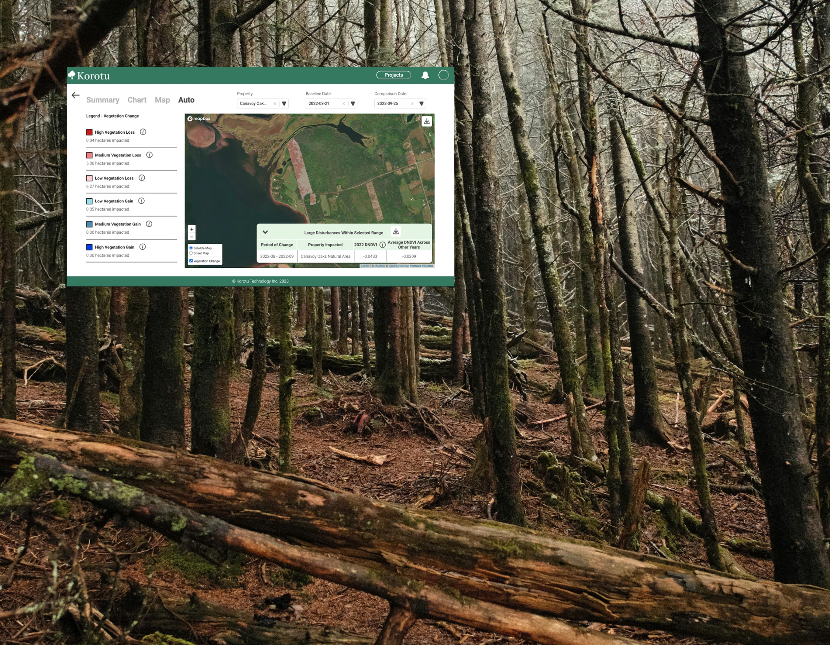
Small-scale disturbance monitoring
Detect subtle land changes, like shelterbelt removal and road building
Data Frequency
New satellite imagery available monthly, for the most up-to-date monitoring.
Intuitive and user friendly
Understand data without extensive training with our user friendly interface.
Technical Requirements
What you'll need:
Platform Capabilities:

FAQ'S
Have a question?
Explore our frequently asked questions and find answers below.
What type of data is available in ForestChangeWatch?
What satellite sources are available in ForestChangeWatch?
What types of disturbances can ForestChangeWatch detect?
Can I export data from ForestChangeWatch?
Where can I find resources and support for ForestChangeWatch?